Carriageway edge
- Format
- Polyline feature class
- What's in it
- Edge lines for the running carriageway, with running length per segment, joined to your network reference. Lands as the base layer the others sit against.
- Cadence
- Biennial
Carriageway, footway, marking and parking features pulled from overhead imagery and handed over as GIS features, keyed to your network.
Send your network as a route file or boundary, with the network reference you want the features keyed to. Say which roads belong in the pilot area.
We find a clear daylight pass over that area from VHR satellite or aerial imagery, RGB, at 0.3 m or finer.
Carriageway, footway, marking and parking features are extracted from the imagery, then matched to your network reference.
A feature class per layer comes back for your GIS officer to load into the register. Your team checks it against the street before anything is accepted.
Registers come from a walked or driven survey, a contractor's mobile capture run, or a technician digitizing edges and markings off aerial photography by hand. All three reach the main roads first. Rural routes and the footways behind estates go in late or stay blank, and a full refresh waits for resurvey money.
Meanwhile the register is what the asset plan and the capital programme are built on.
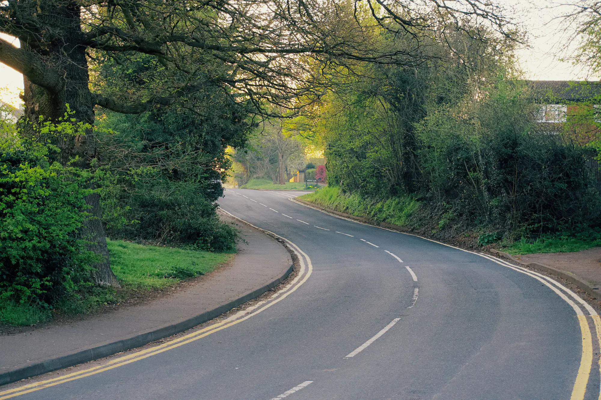
A feature class per layer: carriageway edge, footway network, road markings and parking. Each is keyed to your network reference and carries a low-confidence flag where the imagery was not clear.
GeoPackage or shapefile. Both are standard GIS formats.
We deliver files, and your team loads them. We do not write into your system or connect to it.
No. It is an inventory of what is there. Cracking, wear and paint condition need a condition survey.
Yes. Pick a pilot area your team has already surveyed and keep that survey back. Compare the delivery with it, feature class by feature class, and decide whether it is good enough to seed from.
A clear daylight pass is required. Timing follows imagery availability, so a cloudy season can delay the capture.
It refreshes every two years. That keeps the register close between full resurveys. It will not show last month's roadworks.
Ownership and licence terms for the deliverables and the underlying imagery are written into the pilot agreement before anything is ordered. If your legal team needs to review them, ask early.
It is scoped region by region. Start with a pilot area and check it. Whether and how to extend it is agreed after that.
The quote depends on network length and imagery source, and we price it for your pilot area. Tell us how your authority buys professional services when you ask for a quote.
Tell us which routes you would put in a pilot area and what your register needs them keyed to.
Start a pilot